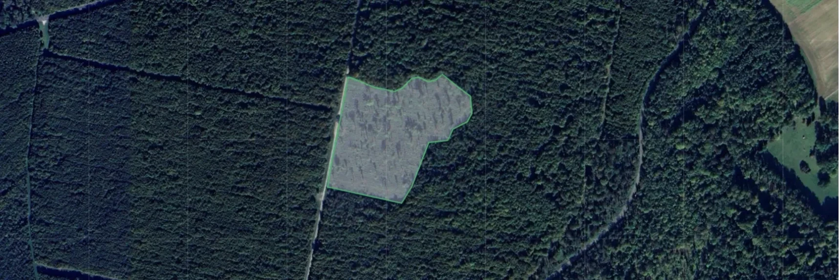

At Tree-Nation, we use various methods to understand the history and the progress of the sites we aim to reforest.
It's not just a map with a polygon that shows you where we are planting; it is far beyond that. It's a study of its history and the progress after our planting actions.
Through EVI and Satellite Imagery, we establish the baseline, where we are starting from and in what situation or struggles the site has been through (for example, deforestation due to agricultural activities, or natural disasters like wildfires).
We investigate what were the reasons for the deterioration, and then, we co-develop, with our reforestation and agroforestry projects, the next steps of action: Which species are to be planted, what is their purpose in the long run, and the probability of success in the future.
This is where our monitoring system comes in. We combine 3 methods:
Planting Reports
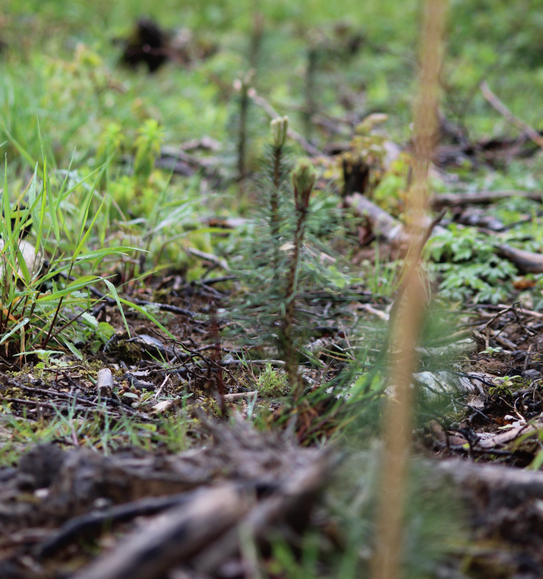
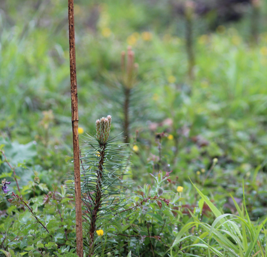
Through reporting and, what we call, proof of planting, where each project holder tells us exactly what happened in their planting activities, and provides us with planting records and geo referenced images.
Vegetation growth
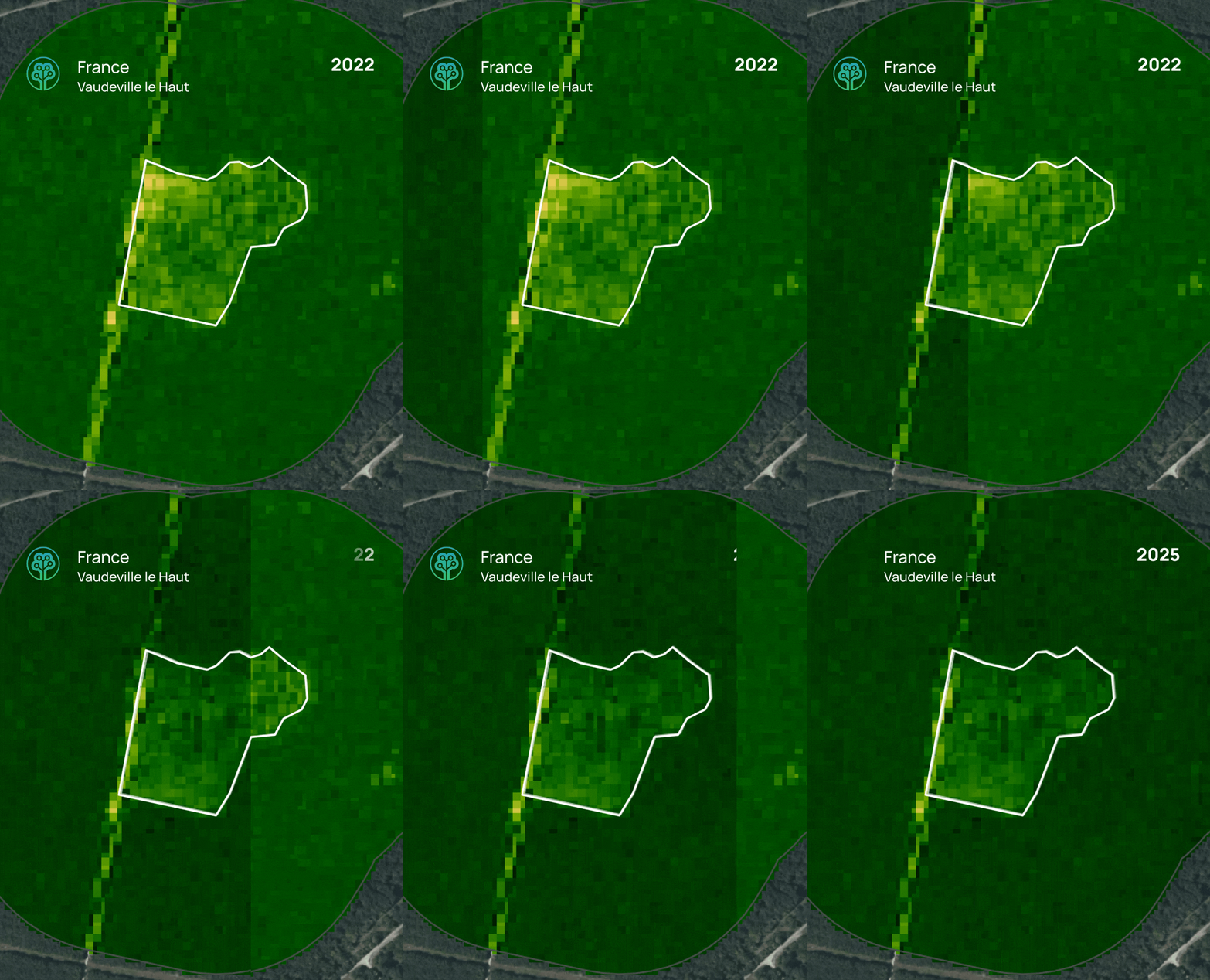
We verify annually the results in growth of the EV Index, assessing either positive or negative change in growth of EVI values. Below there is a example of this analysis done for one planting site in France, through our project Restauration Forêts Dégradées.
In the graph, we can see the higher and lower values between 0 to 3, where the darker the dots, the higher the vegetation vigor. Between 2022 and 2023, there was a visibile decline in this index, and there is also a significant change after the planting action occured in 2023, which shows a positive trend 2 years after the planting took place.
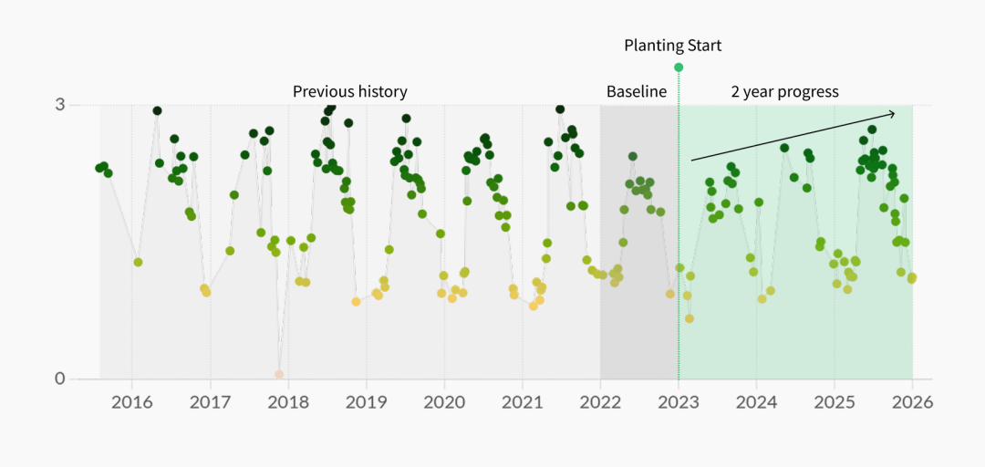
Through this, we can clearly see how vegetation has improved overtime, comparing the same months between a 3 year difference, considering the baseline (1 year before), and the after the planting activities finished, and maintenance began.
Satellite Imagery
We contrast this information with up to date satellite photos, comparing the before and after, looking at how the trees are planted in detail.
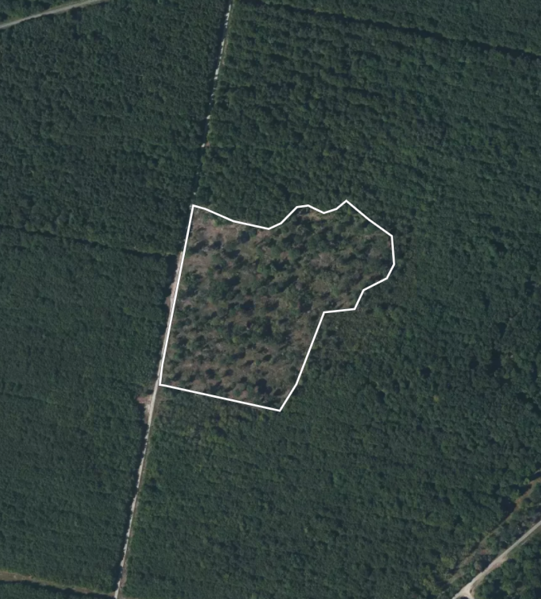
All of this georeferenced information, makes up our MRV process, taken by our Environmental Department. Any step backwards or any red flags seen, are later assessed on the field by our team, having much more detail of survival rates, forest health, progress and weak points.
This is why monitoring is a system with key aspects and criteria that helps us move close to our goal, making sure, transparently and efficiently, how our trees are growing and how they make a positive impact in their inmediate context.
Comments (1)
Leave a comment